
Overview Video

Step by Step
- To see an individual user's location on a map, you will first need to access the View User pop-up window. Please see the View User page for more information.
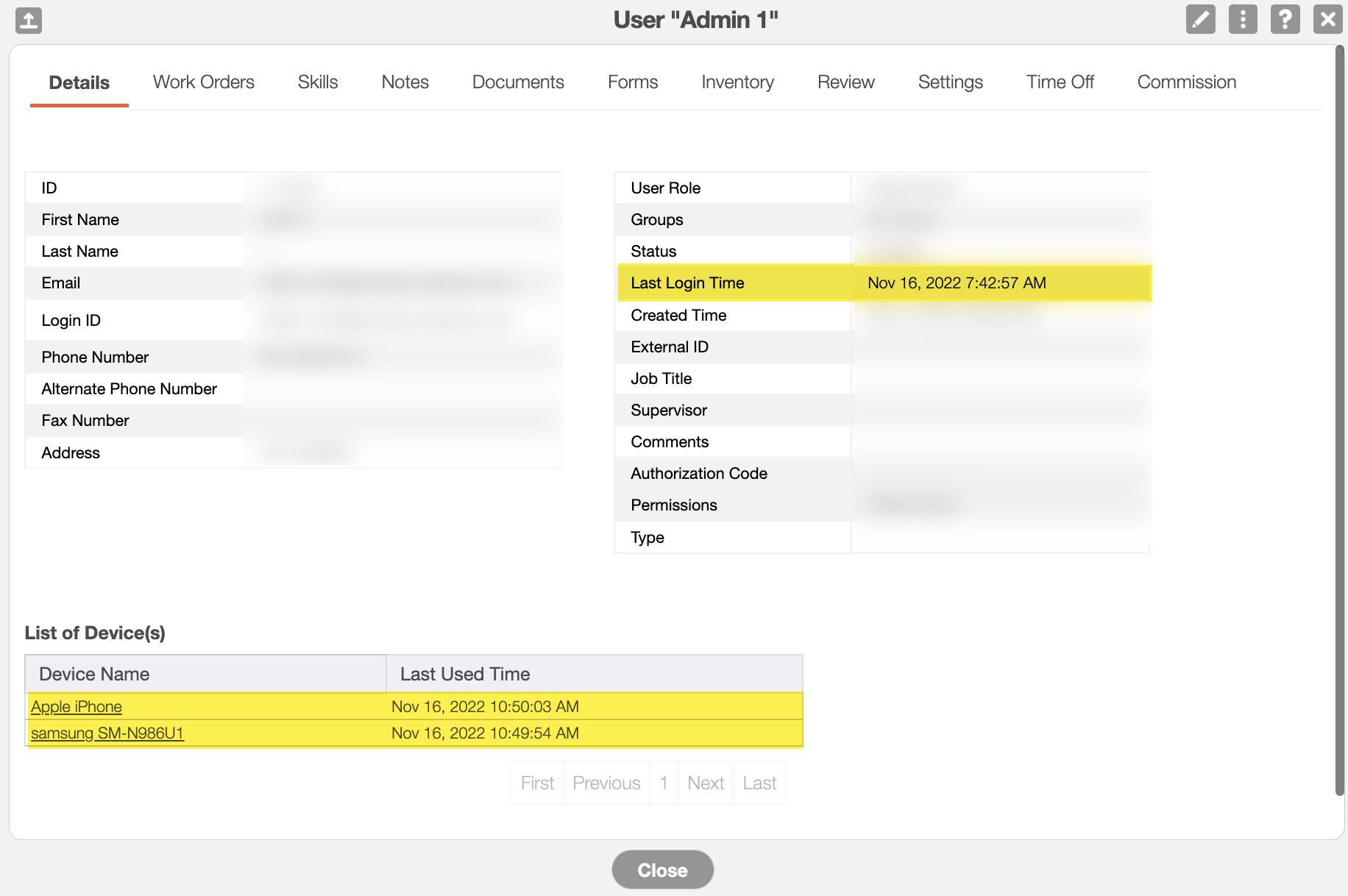
- Once you have accessed the View User pop-up window, you can see the last time the user logged in as well as the list of devices associated with the user:
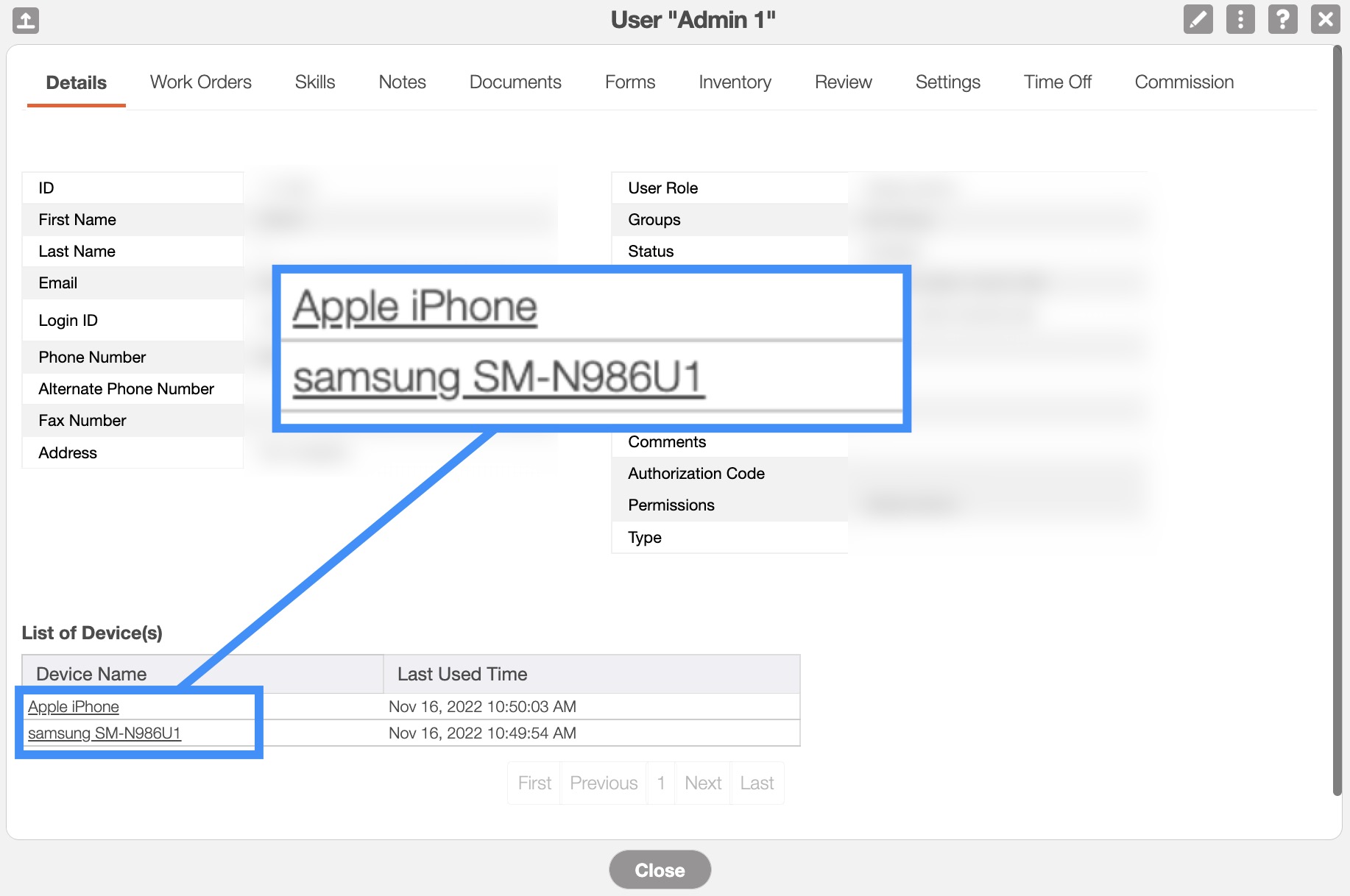
Click on the desired device from under the List of Device(s) section; this action will bring you to the Device page:
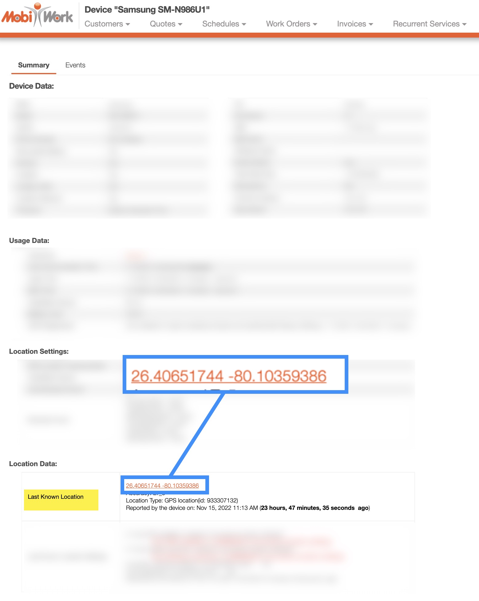
Under the Location Data section, click on the hyperlinked text in the Last Known Location row:
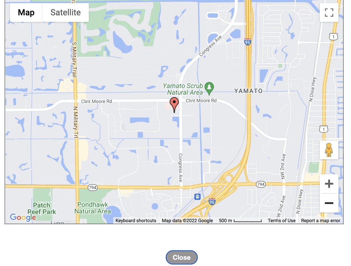
The map display will then appear with the user represented by a pin:
The Last Known Locations feature allows you to view the most recent locations of your users and contractors based on device heartbeats and GPS data captured from their mobile devices. Whenever a user or contractor logs in to the MobiWork mobile app, their most recent GPS coordinates are recorded and displayed within this feature.
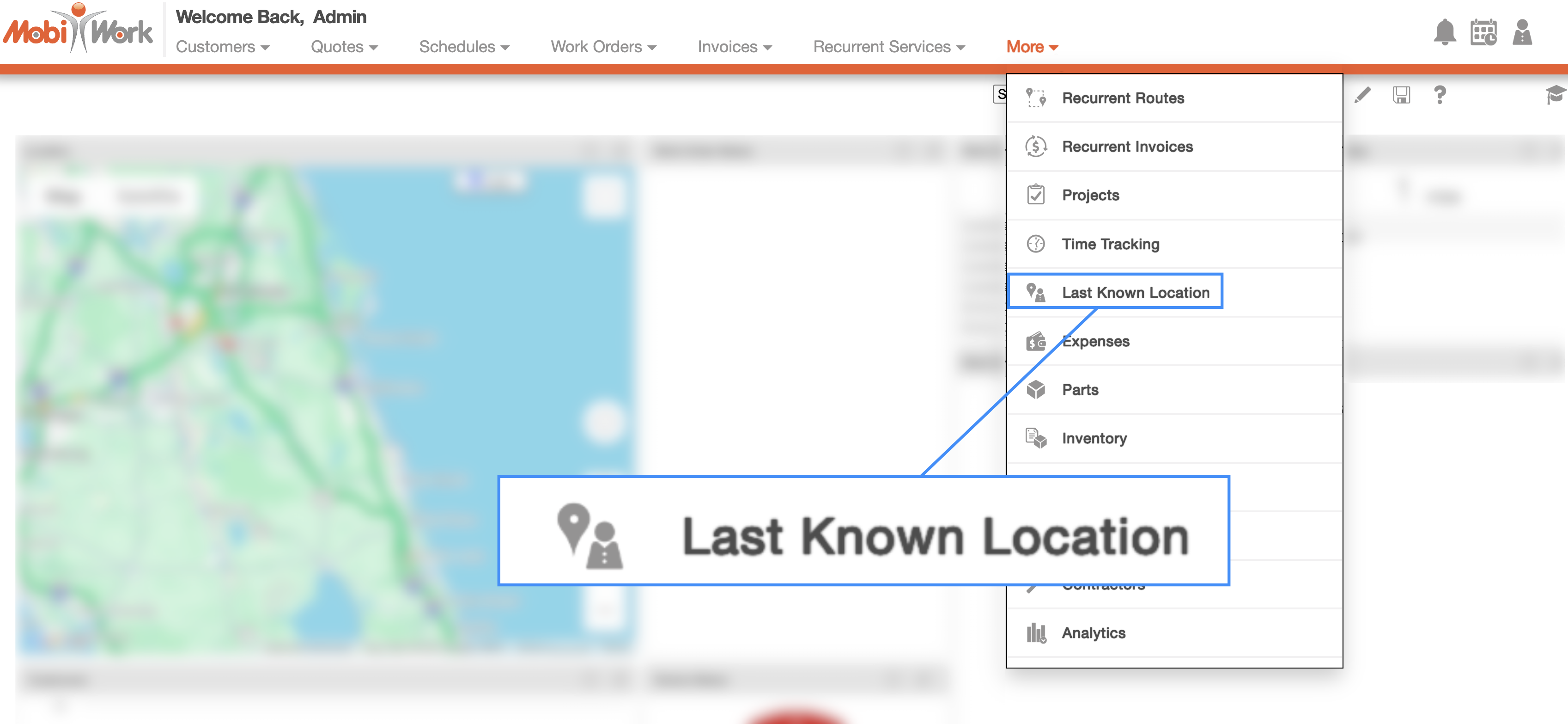
To access this feature, select Last Known Locations option from the More drop-down menu:
You will then be redirected to the Last Known Locations. On the left-hand side of the page, you will see a list of active users and contractors, each accompanied by a numbered truck icon. These numbered icons correspond to the markers displayed on the map, making it easy to identify and locate specific personnel:
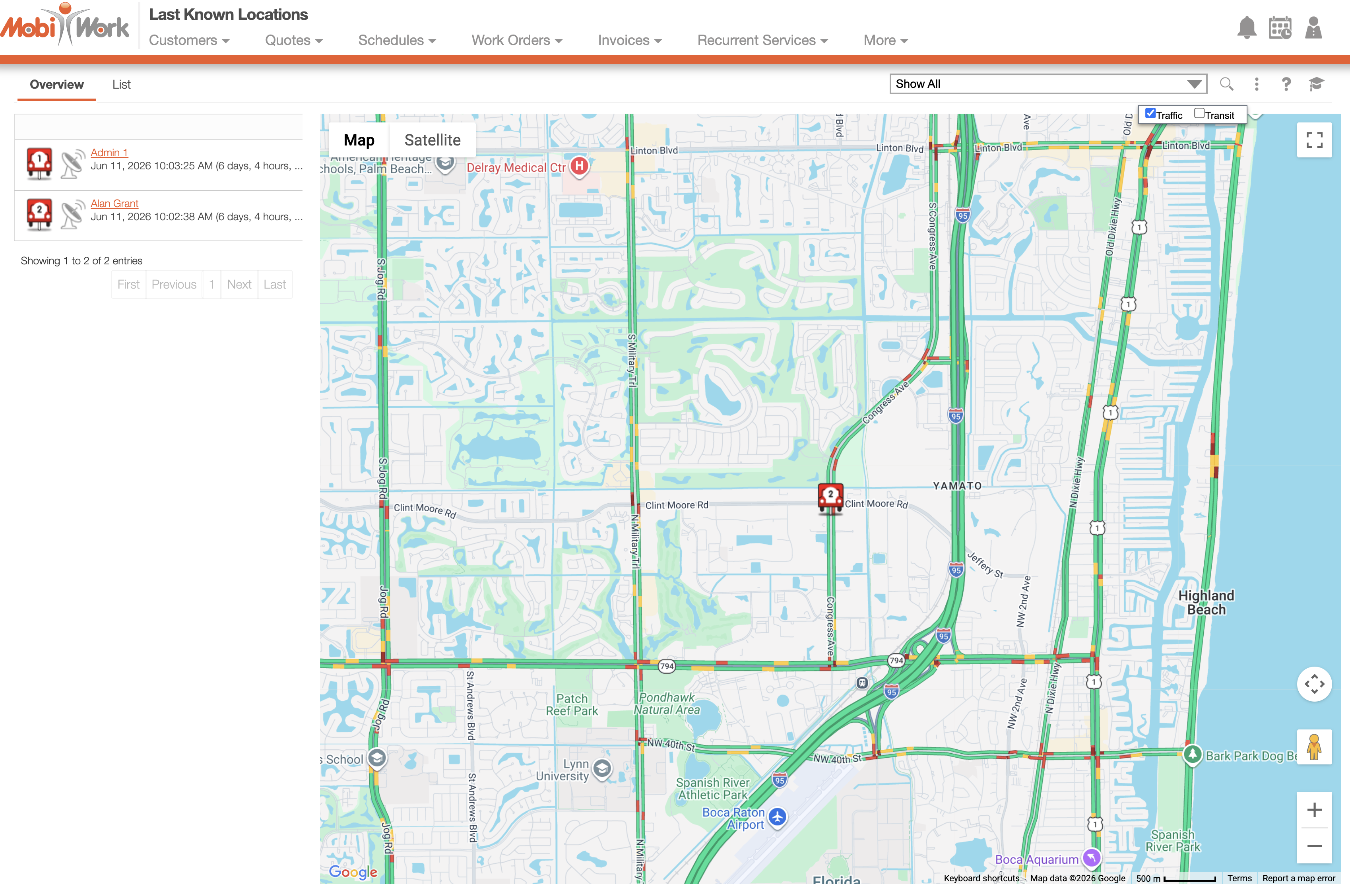
By selecting a truck icon, you can view the following information:
The name of the user or contractor
The date and time of their last login
The GPS coordinates of their last recorded location
The "Overview" tab displays an interactive map that provides a visual representation of the last known locations of your users and contractors, allowing you to quickly determine where your field personnel were most recently active.
This feature provides increased visibility into your mobile workforce, helping dispatchers and managers monitor field activity, verify technician locations, and make more informed scheduling and dispatching decisions.
Each truck icon has a specific color that indicates the current status:
Green- Indicates the current location; this location was updated within the last 90 minutes.
Yellow- Indicates the recent location; in other words, the location was updated more than 90 minutes ago but within the last 24 hours.
Red-- Indicates that the location is old and was updated more than 24 hours ago.
When recording a form or capturing an image in the field, MobiWork automatically records the geotag associated with the file. This provides valuable location and activity information, helping you verify where and when field activities were completed.
The geotag can include the GPS coordinates of the file or image, the date and time of the file, and the user who performed the action and recorded the file.
By default, the geotag information displayed will show the geotags for the current day and the logged in user. You can change the information displayed through the User drop-down or through the saved search as highlighted below:

A geotag stamp can be saved from by performing following actions:
When a user logs in or out.
When a work order is added or edited.
When a form is filled out for the first time or an action is performed on the work order.
When a customer is added or edited.
When a task is added or edited.
When a sales order is added, returned, the return status has been updated or the sales order has been edited.
When time tracking starts and stops.
When a quote is added, edited, or when the status changes.
To obtain historical geotag data, you will need to search for the information by using the saved search. For example, if you would like to look for geotag information from the previous day, ensure that the date range matches the query.